![](/images/other/stat-length.png)
![Trail On foot District of Rimavská Sobota - Náučný chodník zbojníka Jakuba Surovca - Photo](https://media.geolcdn.com/t/1900/400/f53342ca-d236-47f4-82db-8e2fe3fcbda0.jpeg&format=pjpeg&maxdim=2)
Náučný chodník zbojníka Jakuba Surovca
SityTrail - itinéraires balisés pédestres
Tous les sentiers balisés d’Europe GUIDE+
![Length](/images/other/stat-length.png)
Length
4.4 km
![Max alt](https://static1.geolcdn.com/siteimages/upload/files/1508320355ic_sort_altitude_max_24dp.png)
Max alt
784 m
![Uphill gradient](https://static1.geolcdn.com/siteimages/upload/files/1508320355ic_sort_den_pos_24dp.png)
Uphill gradient
211 m
![Km-Effort](/images/other/stat-length.png)
Km-Effort
7.1 km
![Min alt](https://static1.geolcdn.com/siteimages/upload/files/1508320355ic_sort_altitude_min_24dp.png)
Min alt
628 m
![Downhill gradient](https://static1.geolcdn.com/siteimages/upload/files/1508320355ic_sort_den_neg_24dp.png)
Downhill gradient
179 m
![Boucle](https://static1.geolcdn.com/siteimages/upload/files/16400158638029165_repeat_loop_refresh_sync_direction_icon.png)
Boucle
Yes
Signpost
Creation date :
2025-02-06 14:29:29.681
Updated on :
2025-02-06 14:29:29.681
![On foot](https://static1.geolcdn.com/sitytour/trail-icons/100.png)
1h36
Difficulty : Easy
![Scan this QR Code to open this trail in the SityTrail application](https://capi.geolives.com/qq0zvz2zws4bq2lad0pu/sitytour/trails/4343161/qr.png?size=200)
FREE GPS app for hiking
About
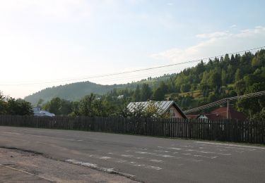
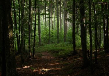
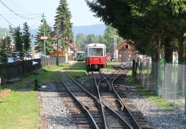
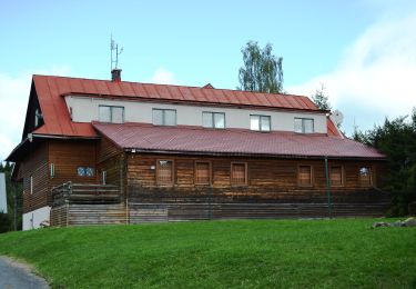
Trail On foot of 4.4 km to be discovered at Region of Banská Bystrica, Unknown, District of Rimavská Sobota. This trail is proposed by SityTrail - itinéraires balisés pédestres.
Description
Trail created by Zbojská s.r.o..
Symbol: education
Positioning
Country:
Slovakia
Region :
Region of Banská Bystrica
Department/Province :
Unknown
Municipality :
District of Rimavská Sobota
Location:
Tisovec
Start:(Dec)
Start:(UTM)
416135 ; 5398271 (34U) N.
Comments
Trails nearby
![Trail On foot District of Detva - Náučný chodník Mikuláša Esterházyho / za cestou skla - Photo](https://media.geolcdn.com/t/375/260/66289b18-1cef-41ca-9ed0-5e40f9314df3.jpeg&format=jpg&maxdim=2)
![On foot On foot](https://static1.geolcdn.com/sitytour/trail-icons/100.png)
Náučný chodník Mikuláša Esterházyho / za cestou skla
On foot
Easy
District of Detva,
Region of Banská Bystrica,
Unknown,
Slovakia
![](/images/other/stat-length.png)
4.5 km | 5.6 km-effort
1h 16min
![](https://static1.geolcdn.com/siteimages/upload/files/16400158638029165_repeat_loop_refresh_sync_direction_icon.png)
No
![Trail On foot District of Brezno - Lesnícky skanzen - Vydrovská dolina (Trasa A) - Photo](https://media.geolcdn.com/t/375/260/966eb997-093f-473e-972b-836ddf154a99.jpeg&format=jpg&maxdim=2)
![On foot On foot](https://static1.geolcdn.com/sitytour/trail-icons/100.png)
Lesnícky skanzen - Vydrovská dolina (Trasa A)
On foot
Easy
District of Brezno,
Region of Banská Bystrica,
Unknown,
Slovakia
![](/images/other/stat-length.png)
4 km | 5.4 km-effort
1h 13min
![](https://static1.geolcdn.com/siteimages/upload/files/16400158638029165_repeat_loop_refresh_sync_direction_icon.png)
Yes
![Trail On foot District of Brezno - Náučný chodník Stožky - Photo](https://media.geolcdn.com/t/375/260/4a6e8cf9-00b2-4dc4-9fdb-1401e6b69554.jpeg&format=jpg&maxdim=2)
![On foot On foot](https://static1.geolcdn.com/sitytour/trail-icons/100.png)
Náučný chodník Stožky
On foot
Easy
District of Brezno,
Region of Banská Bystrica,
Unknown,
Slovakia
![](/images/other/stat-length.png)
4.8 km | 7.3 km-effort
1h 39min
![](https://static1.geolcdn.com/siteimages/upload/files/16400158638029165_repeat_loop_refresh_sync_direction_icon.png)
No
![Trail On foot District of Brezno - Náučný chodník Čierny Balog - Hronec - Photo](https://media.geolcdn.com/t/375/260/a7b2508f-e23b-4877-8c9f-8f8b10615d17.jpeg&format=jpg&maxdim=2)
![On foot On foot](https://static1.geolcdn.com/sitytour/trail-icons/100.png)
Náučný chodník Čierny Balog - Hronec
On foot
Easy
District of Brezno,
Region of Banská Bystrica,
Unknown,
Slovakia
![](/images/other/stat-length.png)
11.8 km | 17.5 km-effort
3h 58min
![](https://static1.geolcdn.com/siteimages/upload/files/16400158638029165_repeat_loop_refresh_sync_direction_icon.png)
No
![Trail On foot District of Detva - Náučný chodník k prameňu Ipľa - Photo](https://media.geolcdn.com/t/375/260/21a57768-f496-41a6-a85e-14e8b44fef2c.jpeg&format=jpg&maxdim=2)
![On foot On foot](https://static1.geolcdn.com/sitytour/trail-icons/100.png)
Náučný chodník k prameňu Ipľa
On foot
Easy
District of Detva,
Region of Banská Bystrica,
Unknown,
Slovakia
![](/images/other/stat-length.png)
8.6 km | 12.5 km-effort
2h 50min
![](https://static1.geolcdn.com/siteimages/upload/files/16400158638029165_repeat_loop_refresh_sync_direction_icon.png)
No
![Trail On foot District of Revúca - Náučný chodník k Muránskemu hradu - Photo](https://media.geolcdn.com/t/375/260/40289fde-a920-4c97-944e-39b08148376d.jpeg&format=jpg&maxdim=2)
![On foot On foot](https://static1.geolcdn.com/sitytour/trail-icons/100.png)
Náučný chodník k Muránskemu hradu
On foot
Easy
District of Revúca,
Region of Banská Bystrica,
Unknown,
Slovakia
![](/images/other/stat-length.png)
4.7 km | 6.8 km-effort
1h 33min
![](https://static1.geolcdn.com/siteimages/upload/files/16400158638029165_repeat_loop_refresh_sync_direction_icon.png)
No
![Trail On foot District of Poltár - Náučný chodník Ipeľ - Photo](https://media.geolcdn.com/t/375/260/149d243b-6e25-41c3-beff-d055aaeab92a.jpeg&format=jpg&maxdim=2)
![On foot On foot](https://static1.geolcdn.com/sitytour/trail-icons/100.png)
Náučný chodník Ipeľ
On foot
Easy
District of Poltár,
Region of Banská Bystrica,
Unknown,
Slovakia
![](/images/other/stat-length.png)
7.3 km | 11.2 km-effort
2h 32min
![](https://static1.geolcdn.com/siteimages/upload/files/16400158638029165_repeat_loop_refresh_sync_direction_icon.png)
No